
Ashland, Virginia
Keep town and county resources together when planning an Ashland visit or move.
ExploreDiscover neighborhoods, towns and local districts across Richmond, Henrico, Chesterfield and Hanover.
Search named city neighborhoods, county subdivisions and Census communities. Select a result to see its mapped outline and source, or press Enter in search to open the first match. The map moves to your selection; Reset map view returns to it after panning. Recorded subdivision names can differ from community or marketing names.
Loading the neighborhood index…
Loading map…
Teal outlines: selected mapped areas. Dot: named reference location. Pale outlines: nearby areas. Use +/− to zoom; drag to pan.
The Richmond layer contains 148 named planning areas, including neighborhoods, parks and employment districts. County recorded subdivisions are shown separately from larger communities. A subdivision can contain several recorded sections. These outlines do not establish school assignments, surveyed property lines or a verified number of homes.
Sources retrieved November 2, 2026. Richmond’s City-linked map was updated as an item in April 2026, but its description cites 2018 source data; that item date does not establish a boundary revision. Hanover’s available public subdivision layer reports a February 2024 update, so later recordings may be absent. One Henrico record, Jefferson Gardens, has no usable outline in the source and remains searchable with a link to the County map.
Official locality maps: Richmond · Henrico · Chesterfield · Hanover. Community boundaries: U.S. Census Bureau.
Explore local photos, school resources, civic services and housing context in our area guides.
Try a shorter search, choose another locality, or clear the filters to see everything.
Keep town and county resources together when planning an Ashland visit or move.
Explore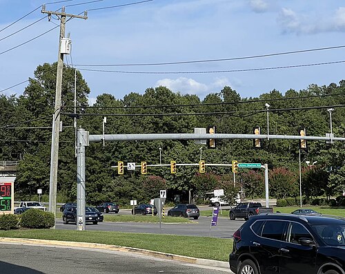
A Hanover Local Center linking Atlee and Elmont homes, schools, parks, everyday services, employment access, transportation, and property resources.
Explore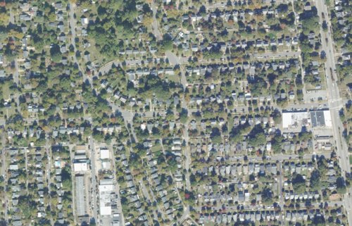
Explore Bellevue’s neighborhood shops and civic resources, with address-based school, property and city-service links for Richmond residents.
Explore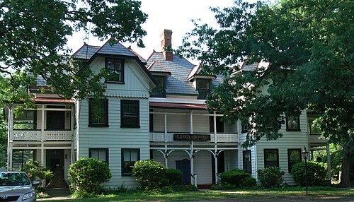
A Chesterfield community with Victorian roots, a neighborhood library and practical resources for a first visit or move.
ExploreA north Henrico commercial corridor linking Brook Road businesses, housing, regional access, and the evolving Best Products site.
Explore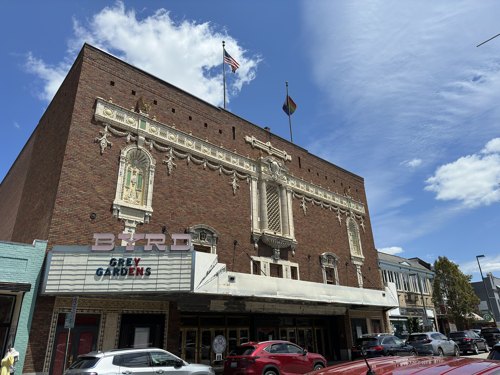
Explore West Cary Street’s shops, cafés and theatre setting with a plan for browsing and a meal.
Explore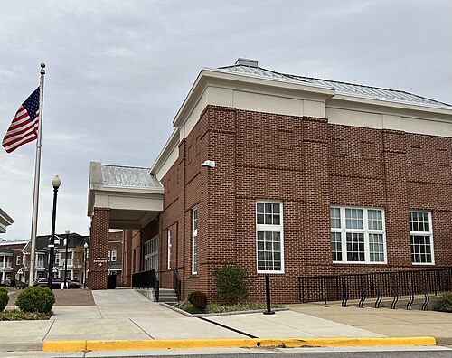
A practical guide to Chester’s community core, Route 10 businesses, homes, schools, transportation, planning and exact-address County research.
Explore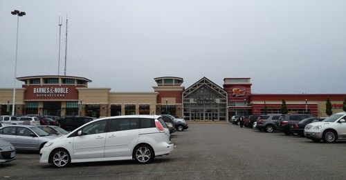
A local-center guide to Chesterfield Towne Center and nearby Koger–Johnston-Willis destinations, with precise business and address relationships.
Explore
Historic streets and an east Richmond perspective, with resources for planning a visit or researching an address.
Explore
Build a downtown outing around one destination, a realistic route and a clear parking plan.
Explore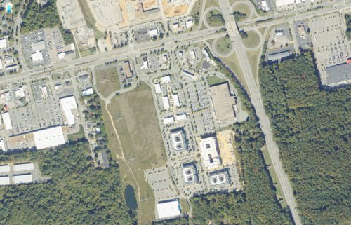
A planning-aware guide to the Eastern Route 60 corridor, District 60, Stonebridge, access conditions, redevelopment and exact-address research.
Explore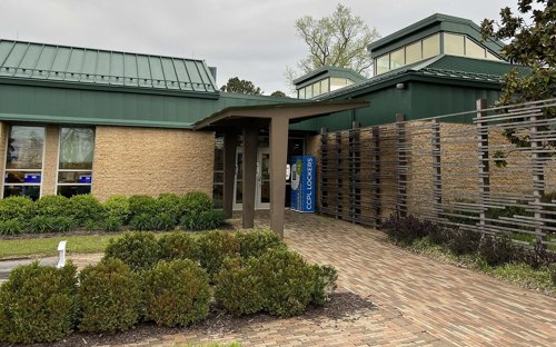
A community guide to Ettrick and its relationship with Virginia State University, including homes, rail, services, schools and County planning.
Explore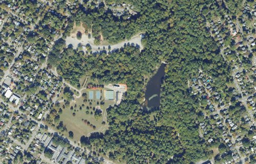
A South Richmond residential area shaped by established homes, Forest Hill Park, neighborhood businesses, trails, dining, everyday community resources, and connections to the…
Explore
A destination-area guide to River City Sportsplex, the Genito–Route 288 setting, event access, family recreation, services and planning context.
Explore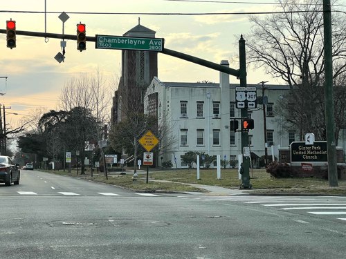
Get oriented to Ginter Park with neighborhood history, residents’ association resources, school lookup and practical property research.
Explore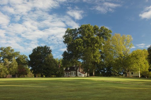
Explore Meadow Farm and Crump Park, then connect your plans with the right Henrico address and services.
Explore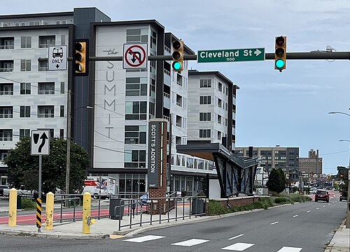
Dining, craft beverages and entertainment in a Richmond district best explored with a clear arrival and return plan.
Explore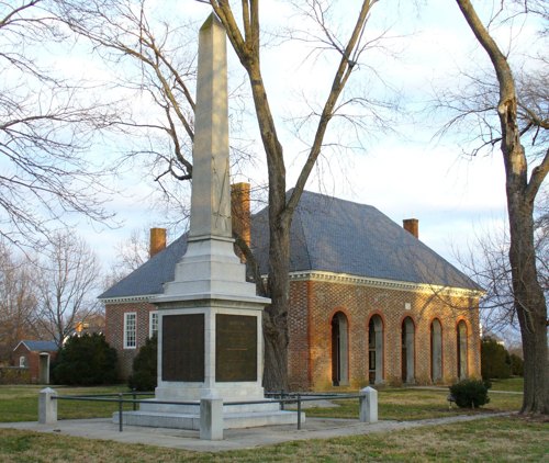
Explore Hanover’s historic courthouse setting while keeping visitor destinations and government appointments distinct.
Explore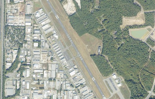
A Hanover Employment District for manufacturing, distribution, aviation-related business, sites, workforce access, transportation, and B2B services.
Explore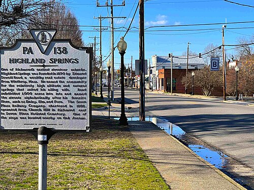
An eastern Henrico community hub connecting historic Highland Springs, Nine Mile Road, housing, services, parks, and transit.
Explore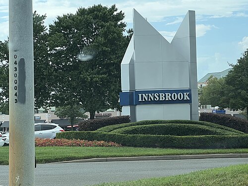
A western Henrico employment district with offices, hotels, dining, housing, lakes, event activity, and interstate access.
Explore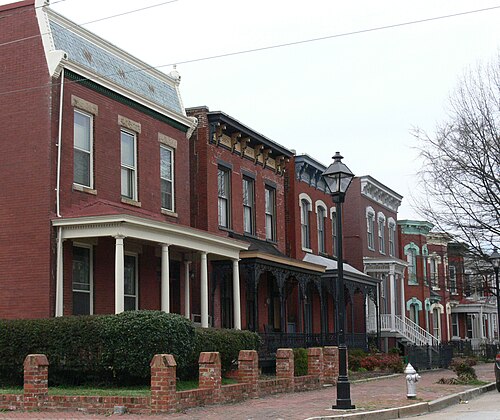
Explore Jackson Ward’s nationally significant Black history, distinctive rowhouses, cultural landmarks, local businesses and downtown connections, with practical guidance for…
Explore
Plan a Lakeside outing around a specific stop, with Lewis Ginter Botanical Garden as a nearby visitor resource.
Explore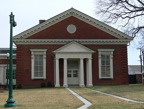
Explore Manchester’s Hull Street corridor, riverfront trails, historic residential and industrial fabric, transit connections, local businesses, housing choices and…
Explore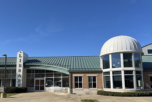
An unincorporated Hanover hub for Mechanicsville Village, the Business 360 corridor, homes, shopping, dining, schools, services, and property research.
Explore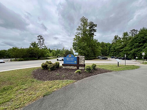
Discover a Chesterfield community through Mid-Lothian Mines Park and practical address-based research.
Explore
Explore the Museum District’s historic homes, apartments, cultural anchors, restaurants, transit, events and the separate City, civic, historic and design-review boundaries that…
Explore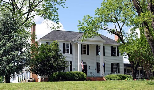
A corridor guide to Northern Route 1 and Bellwood, connecting industry, local services, housing context, transportation and County research tools.
Explore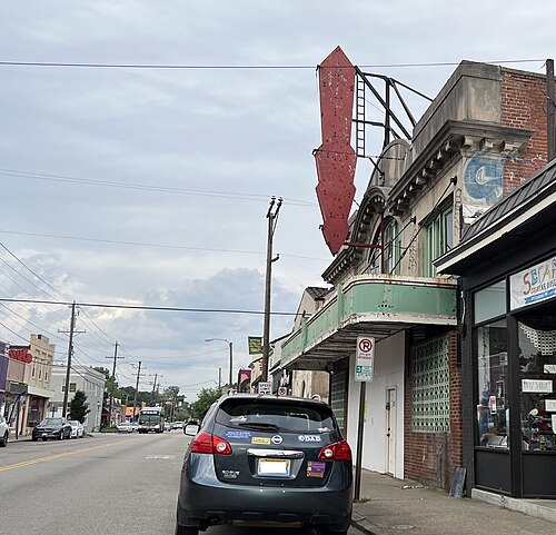
A broad North Richmond area linking established neighborhoods, Brookland Park Boulevard, homes, schools, parks, institutions, locally rooted community businesses, and active…
Explore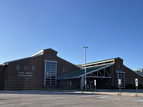
A Hanover area for Pole Green and Creighton Road homes, parks, schools, services, transportation, property research, and development context.
Explore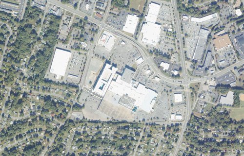
Regency, Three Chopt Road and Forest Avenue connect shopping, housing, offices and everyday services in western Henrico. Start with the specific shopping center, business or…
ExploreDiscover the Broad Street-centered arts and cultural overlay connecting galleries, performance spaces, creative businesses, apartments and First Fridays, with transit and…
Explore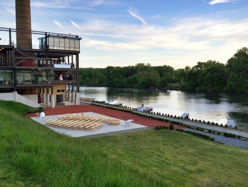
Henrico County’s riverfront portion of Rocketts Landing, with mixed-use housing, dining, trails, and cross-border connections.
Explore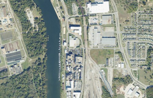
A Richmond riverfront gateway centered on the eastern Pulse terminus, Virginia Capital Trail, Dock Street, tidal James, changing industrial parcels, and a shared identity…
Explore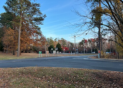
A corridor guide to Rockwood and the Hull Street–Courthouse area, with local services, housing context, transportation and exact-address research.
Explore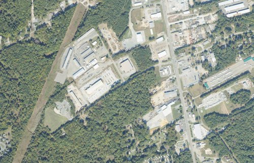
Route 1, Lewistown Road and the Northlake area connect Hanover business and employment sites south of Ashland. Highway access is a major part of the setting, but each property…
Explore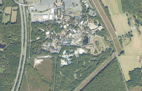
A Hanover destination-area hub for Doswell, Kings Dominion, Route 30 attractions, events, lodging, dining, road access, services, and planning context.
Explore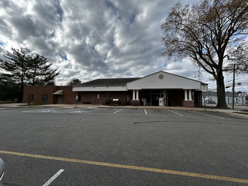
Sandston, Richmond International Airport and Williamsburg Road are distinct parts of eastern Henrico. The area connects an established community with air travel, lodging, local…
Explore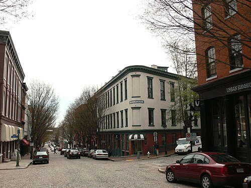
Compare two adjoining historic Richmond districts shaped by commerce, the canal and the James River, with practical guidance on loft living, transit, flooding, dining and…
Explore
Use Short Pump Park as one local starting point, then organize shopping, appointments and home research by address.
ExploreExplore Southside Plaza and the City of Richmond segment of Route 1 as a practical commercial-corridor hub for businesses, services, housing context, transit, and public planning.
Explore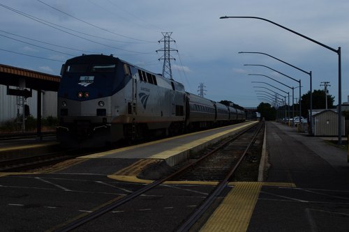
Staples Mill Road is a Henrico corridor anchored by the Richmond Staples Mill Road Amtrak station. Rail travel, shops, offices, industrial sites and nearby housing bring people…
Explore
A southwest Richmond local-center hub linking Stony Point Shopping Center, Stony Point Fashion Park, housing, offices, medical uses, dining, transit, and river recreation for…
Explore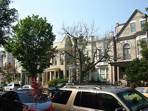
Historic houses, neighborhood restaurants and a practical way to explore Richmond’s Fan District.
Explore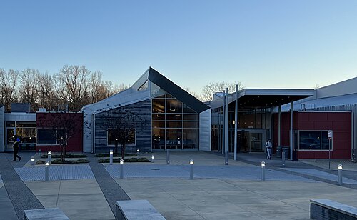
A broad eastern Henrico rural community corridor with farms, housing, parks, the Capital Trail, river access, and historic routes.
Explore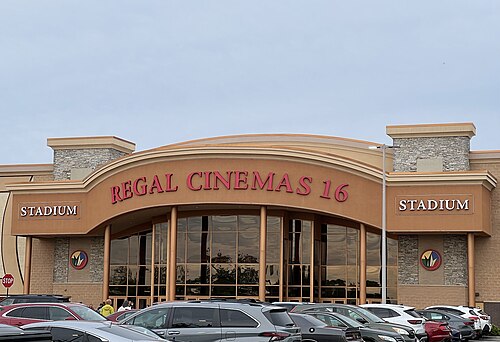
A mixed-use center guide to Watkins Centre, Westchester Commons and surrounding workplaces, services, homes, transportation and development context.
Explore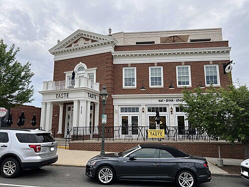
A West Richmond neighborhood and commercial cluster shaped by established homes, locally oriented shops, restaurants, services, schools, daily neighborhood activity, and nearby…
Explore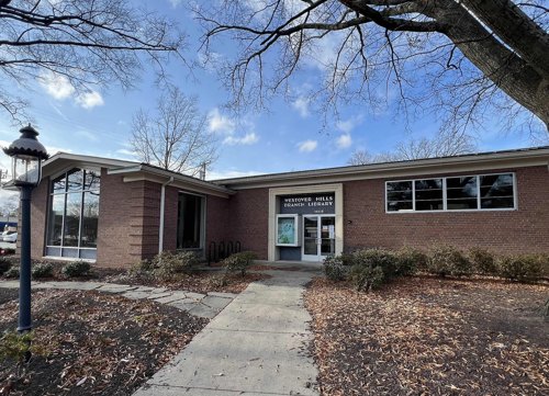
Find Westover Hills neighborhood updates, civic contacts, schools, recreation resources and address-level property research in Richmond.
Explore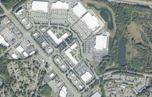
White Oak Village and South Laburnum Avenue form an eastern Henrico shopping and services area near I-64 and the airport corridor. Plan stops by their individual entrances,…
Explore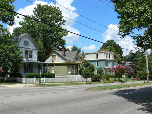
Use Woodland Heights’ civic resources alongside Richmond school, property, recreation and city-service tools to research the neighborhood.
Explore